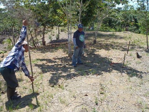
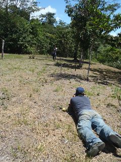
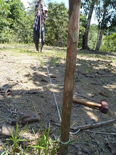
Survey1 - Starting to Survey the propertySailed out to my property (henceforth "Punta Nisporo"), and started the survey process. Using only a couple of sticks, some string, a level, and a tape measure, we are setting up a 12'x12' grid on the property.
3 people like this album ... Ya know, a hydro level would work well also (16-30 foot of clear plastic hose) Yes Bill ... I thought about that on the way over there, didn't have the tubing with me ... the guys are doing great with this technology, and I've left them to their own devices ... I figure about 4 days to survey the front 1.5 acres ... then I'm gonna need some kind of optical device to work through the jungle .. ... Buenos suerte, sounds like fun! There's a level bulb attached to the (kevlar aramid) string. It's probably accurate to about 1/2" over 12 feet ..
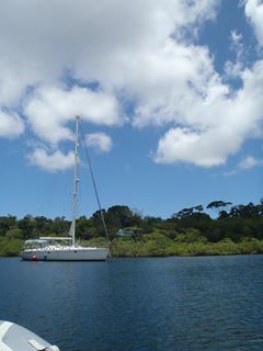
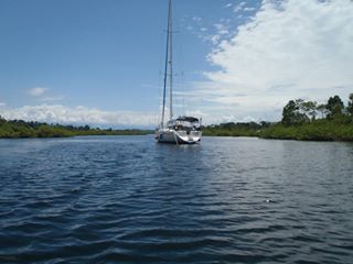
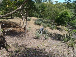
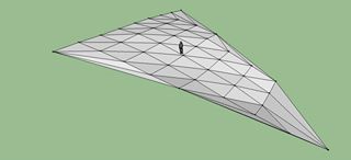
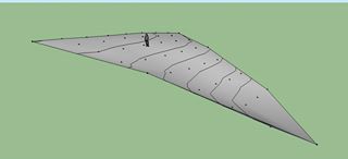
... Looks like a crime scene minus the yellow tape :) :-) Dan lol ... I never thought of that ... was thinking it kinda looked 'scientific' ... but only I KNOW where the bodies are buried :-) ... Haha!! Knowing where the bodies is all that counts! Rhapsody at anchor, for the first time in the inner baylet. This photo is facing inwards, approximately due east. You can see "Casa Chovar", the blue tent the workers sleep in, about center, and to the right the wood colored bodega, and the silver covered lumber tent. 3 people like this photo Facing outwards, west, Rhapsody well protected in inner baylet. Isreal, taking a south compass bearing, lining up points every 12 feet .. This is the area shown in the rendering below. Note the pineapple plants :-) Another pic showing the survey technology. A pvc tube lets us move the string up and down the pole .. after each measurement we place another 1 ft stake in the ground and move on ... The results of the first days survey, rendered in Google Sketchup as triangles, with "Jane" for reference. Smoothed rendering with generated contour lines at 3' intervals. |
