The difficult 77 nm getting into Ensenada Benao for two nights
By now, I was checking the weather twice each day, getting GRIB files and point forecasts over the modem and SSB. When we woke the next morning, it looked good, but not perfect, for the next leg. There were forecasts for scattered thunderstorms, but nothing severe was predicted, so at 6:00 am or so, the boats started setting out for Bahia Guanico. We had decided from the charts that Bahia Guanico looked better protected than Benao and would be our first choice to stop at. The boats trickled out over the morning with PIPE DREAM and SPIRIT hanging behind to leave later in the afternoon, based on their strategy of sailing rather than motoring. As RHAPSODY pulled around Punta Mariato, with DELPHIN SOLO and KETCHING UP close by, at about noon Rengin came on the radio and reminded us all that this would be the southern most point in our trip. Since Panama really runs east-to-west, with the canal running north to south, once we round Punta Mala we will be heading north to Panama City, and then north thru the canal. So, for RHAPSODY at least, this represents as far south as we may ever go in this boat. To commemorate the moment, I took a picture of the chart-plotter to acknowledge our position for posterity's sake. 
We passed the day motor-sailing along the coast. Most of the morning was clear and calm, and very pretty. At one point a school of dolphins came by and swam with the boat for about 15 minutes. We saw a whale spout and show her fluke, the first in many moons. But by early afternoon, thunder clouds had begun forming and we could see from the radar that we would run into some weather up ahead. RHAPSODY was out in front, making upto 8 knots with a favorable current, a bit of wind in the sails, and the motor chugging away. Then a sudden gust of wind came up and we decided to put the sails away, and sure enough, a short time later it began raining, lightly at first, then more steadily.
By the time we got to Guanico we had already run into, through, or around several thunderstorms, but we were very dismayed when we got to the Guanico waypoint and found that there was a huge thunderhead, with lots of rain and lightning cracking down, centered right over the anchorage on the radar! We called back to the other boats, WAHOO being second in line offshore a bit, and told them that we were going to continue on the 10 or so miles to Benao to check it out, since there didn't seem to be any weather, on the radar at least, over there. 
But wouldn't you know it, by the time we got to Benao, about an hour and a half later, the radar screen was totally filled with another thunderstorm, this time right over the anchorage at Benao! With the wind gusting into the mid 20's, 2-3' wind driven waves were banging the boat and bouncing us around; the rain was coming down very hard so visibility was very limited. And with the storm on the radar filling the screen, it was very difficult to make out the signature of the land, which we use to correlate and double check the gps coordinates and our electronic charts. So, essentially all we had to go on was the GPS and our chartplotter for entering the cove at Benao. I was fairly confident, however, that the charts appeared to line up pretty good with what I could make out of the radar, so I decided that we should try to enter the cove behind the islet. She agreed, so we started motoring into this bay we've never seen before, in pretty hectic conditions. I was having a hard time imagining how I was going to get up on deck to drop the anchor (and feel safe about it) in this driving rain and with these choppy waves. Nonetheless, we tip-toed into what we thought was the widest part of the bay, going about 2 knots. We were hoping that at any minute we would get some kind of protection and the seas would level out, indicating that we were in the cove, but after a tense 15-20 minutes it was raining harder than ever and the winds were gusting up to 27-35 knots and the seas just would not let up. Finally, when we figured we were approximately within the mouth of the cove, and conditions and visibility had not improved, we chickened out and decided that we'd had enough. We turned tail and ran back out to the open waters of the sea. We got on the radio with WAHOO, who by now had nearly caught up to us, and we decided that we would all wait a bit for the weather to clear and that, if it did not, unfortunately, we would probably be forced to return to Ensenada Naranjo. We did not want to be rounding Punta Mala in these conditions. In the meantime, I suggested that RHAPSODY would go back to Bahia Guanico and check it out again. So while WAHOO worked around Ensenada Benao, we, on RHAPSODY, motored the 10 nm back to Guanico, in the process making contact with KETCHING UP who had, by now, gotten to that point in their passage. Indeed the weather had cleared a little bit at Guanico; you could see the land now, and we could even see a shrimp boat at anchor there. However, when we motored in closer to where the shrimper was, the anchorage was completely open to the 2-3' southern swells that were rolling in. In at least a little bit of dismay, both RHAPSODY and KETCHING UP decided that even if conditions improved, this anchorage would not be tenable for the night. By now, fortunately, we had gotten reports from WAHOO over the VHF that the weather in Benao had finally broken and that they had entered Benao safely and had found the anchorage to be nice and flat. So, once again, we decided to turn around and head back to Benao, and all the boats now converged on Benao! 
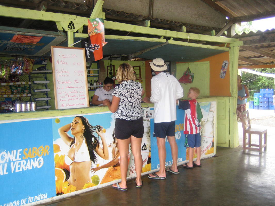
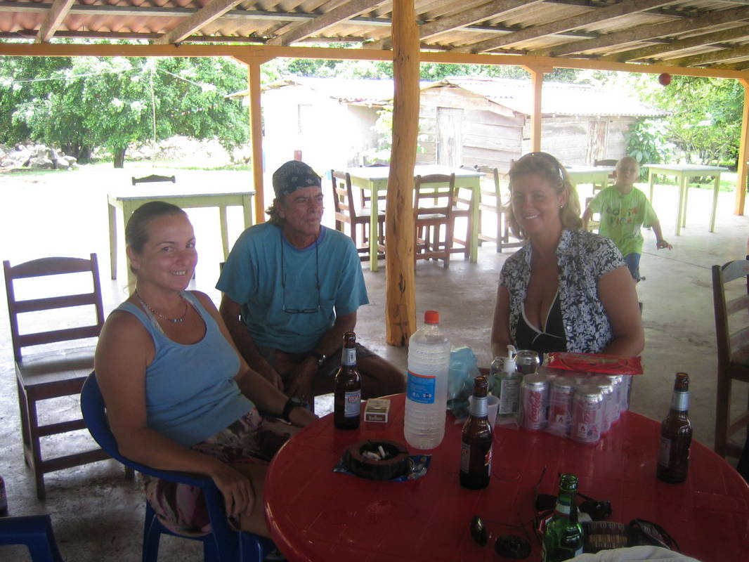
As all of this was going on, we had been talking quite a bit on the VHF radio, using channel 16 extensively. We probably should have switched to a working channel as we usually do, but we didn't hear any other traffic and the fears and concerns of the storms kept us talking on 16. By now we've got 4 boats going this way and that and we're just talking up a storm. I didn't make the connection at the time, but I realized later that this is what probably caused someone to dispatch a U.S. Navy C-130 search-and-rescue plane to the area! Yup. We started hearing a plane up in the clouds, and then without warning about 500 feet above us this large four-turboprop grey airplane swooped in and began circling our little fleet. At first we thought it was the Panamanian Air Force, but on its second pass you could clearly see the U.S. Navy insignia on the airplane. We talked about it on the radio for a bit and at one point I got up and waved at the plane as he passed directly over RHAPSODY. I swear that the pilot dipped his wings in response as they made 3-4 circles over us in a 10-15 minute period. Finally, they must have become satisfied that nothing was amiss and they flew away. But it was still gossip worthy to us. It's not every day that you get circled by a U.S. Navy airplane while in Panamanian waters! The plane came back over one more time, doing another circle over our heads, before RHAPSODY had made it back to Benao, but that was the last we saw of them. They never tried to contact us on VHF 16, so perhaps they were really out looking for drug runners, but maybe they really were keeping an eye on our tempest-tossed little fleet. In any event, at about 5:30 pm, after doing an extra 20nm heading back to Guanico and then back to Benao again, RHAPSODY finally pulled into the anchorage at Benao and dropped the hook. We were pretty whupped after the long day and tense moments and so, apart from a few beers and dinner that night, we pretty much just collapsed into reading and going to sleep after the sun set. By 7:00 pm, four of the six boats had made it into the bay, and sometime after midnight SPIRIT and PIPE-DREAM came into the anchorage, so everybody was safe and sound. The next day we were surprised to wake up and find that Ensenada Benao was a very pretty and inviting place. At least in the current conditions, the anchorage was smooth, if not glassy, and it was plenty comfortable for sleeping. After checking the weather and doing our morning strategy sessions, all the boats decided to stay here another night for R & R. Inasmuch as it looked like there was some stuff ashore to explore, I got a ride into shore with Dan, Erin, and Tim who just happened to be going that way, and walked over to join everybody now gathered together at the beach bar. It turned out to be a nice place so we all spent the afternoon there having beers and lunches (chicken or fish with rice and beans for $3.00), once again whiling away the time telling stories, talking about the weather and our strategies for the upcoming days. After the lunch, in several separate groups, we walked back to where the dinghies were tied up and all respectively went back to our boats for the night. Some boats were planning on leaving here and going directly to Panama City or thereabouts, while other folks were planning on the indirect route via the Perlas Islands, but everyone was definitely planning on leaving the next day. 


|